ABOUT THE PORTAL
The West Coast Ocean Data Portal is a project to increase discovery and connectivity of ocean and coastal data and people to better inform regional resource management, policy development, and ocean planning. The Portal informs priority West Coast ocean issues such as tracking sources and patterns of marine debris, adaptation to sea-level rise, understanding impacts of ocean acidification on our coasts, and marine planning.
Learn More
To learn more about the Portal, get updates, contribute your data, join the Network, or provide feedback, please visit the West Coast Ocean Data Network community page and sign up for the Network email list or contact us.
The Portal links existing data systems together to provide an easy to use gateway to discover ocean and coastal data. Coastal decision-makers, researchers, and stakeholders use the Portal to access data and decision-support tools they need to understand and address high-priority regional issues. The Portal was funded through NOAA's Regional Ocean Partnership grant which supported development of tools to help coastal managers track marine debris to help prioritize clean ups and advocate for policies to reduce the impact of trash on our beaches.
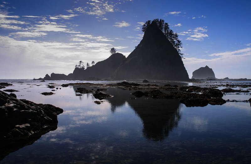
SENTINEL ROCKS ON THE WASHINGTON COAST


Acknowledgements
The West Coast Ocean Data Portal would not be possible without the contributions of the following agencies, organizations, and tribes.
- The Washington Governor's Office
- The Oregon Governor's Natural Resource Office
- The California Natural Resources Agency
- Bureau of Ocean Energy Management
- National Oceanic and Atmospheric Administration
- MarineCadastre.Gov
- U.S Environmental Protection Agency
- U.S Fish and Wildlife Service
- U.S Geological Survey
- Washington Department of Ecology
- Oregon Coastal Management Program
- Southern California Coastal Water Research Project
- California Ocean Protection Council
- California Coastal Commission
- OceanSpaces
- U.S. Integrated Ocean Observing Systems (IOOS)
- Northwest Association of Networked Ocean Observing Systems (NANOOS)
- Central and Northern California Ocean Observing System (CeNCOOS)
- Southern California Coastal Ocean Observing Systems (SCCOOS)
- Yurok Tribe
- Quinault Indian Nation
- The Nature Conservancy
- Ecotrust
- Oregon State University, Active Tectonics Laboratory
Photo Credits
HOMEPAGE (From Left – NOAA, Robert Schwemmer, Dana Murray, CSU Monterey Bay Seafloor Mapping Lab); CONNECT (NOAA); INFORM (Roy Lowe, NOAA); ABOUT (Andy Lanier).