How did we calculate?
APPROACH
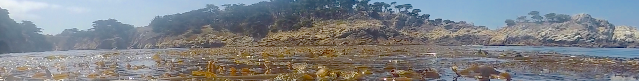
To assess kelp, scientists and resource managers monitor the canopy which forms at the ocean’s surface. Historical satellite and aerial imagery programs date back more than 40 years. Since kelp forests naturally fluctuate from year to year, this historical perspective is necessary to generate a robust expectation of kelp performance in any individual year.
For the Kelp Indicator, the status is based on the current year of kelp canopy extent. The extent of kelp within a coastal segment is standardized relative to a fixed historical baseline and expressed as a percentile. Such an approach gives equal weighting to all coastal segments with kelp. The Expectation categories are defined from the historical distribution of coverage.
Trends are assessed based on the full historical period for which data is available, as well as the time period since 2017. This latter time period is to assess trends in kelp since the 2014-15 marine heatwave, ‘the blob,’ which resulted in significant temporary kelp losses along many parts of the West Coast.
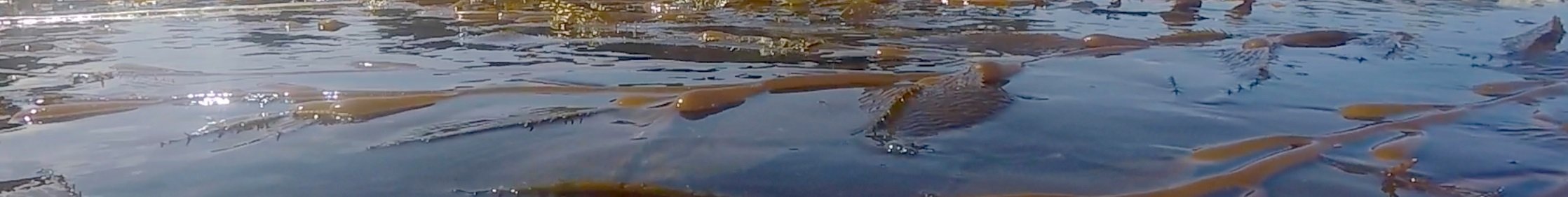
Photo Credit: kelp indicator export group members, including Oregon Kelp Alliance (ORKA), Tristin Anoush McHugh (The Nature Conservancy), and Pike Spector (California Ocean Protection Council).